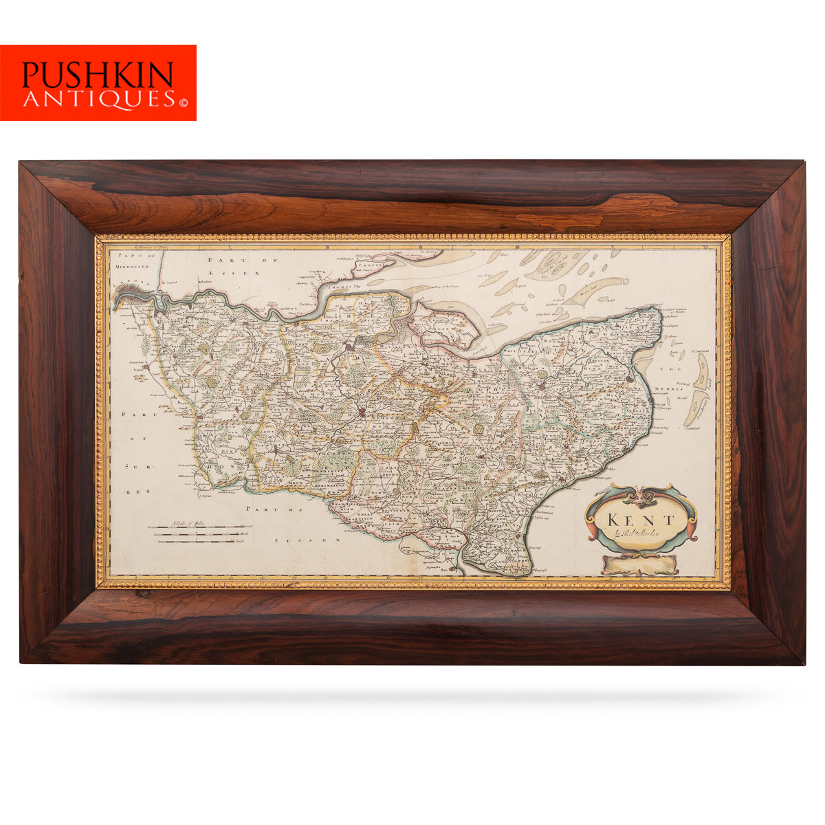
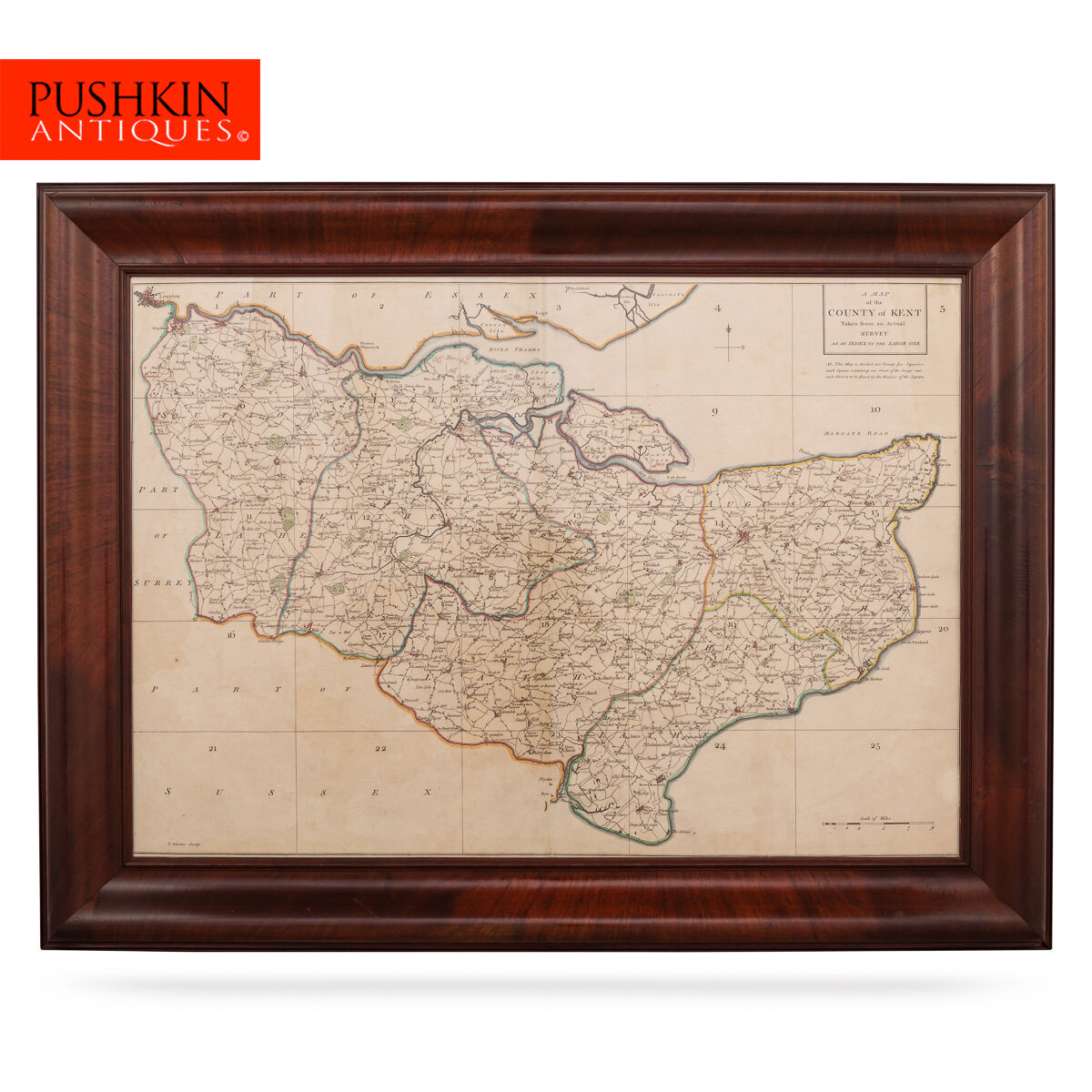


ANTIQUE 18thC JOHN CARY MAP OF KENT c.1769
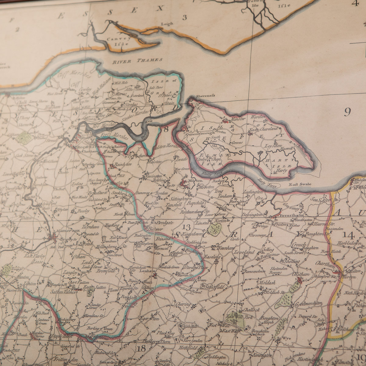
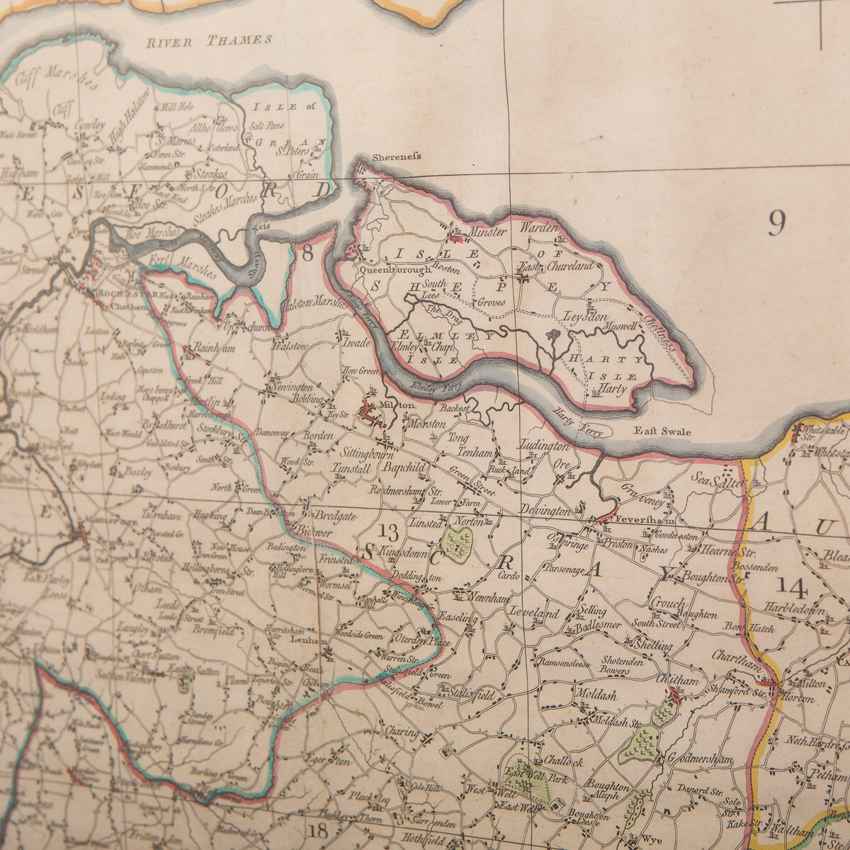
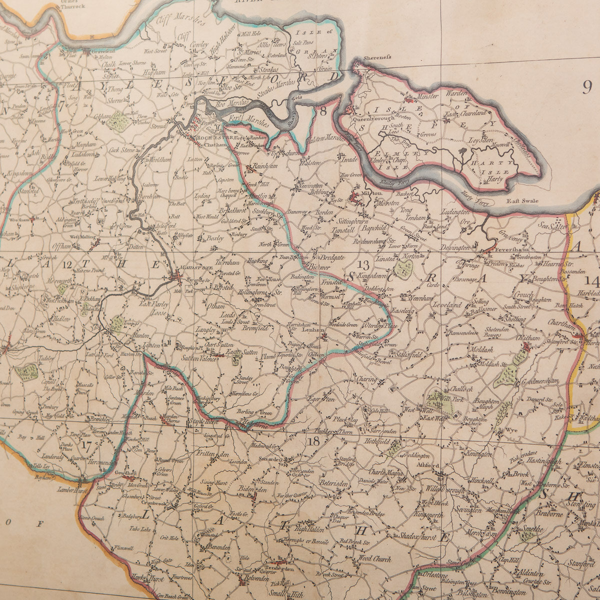
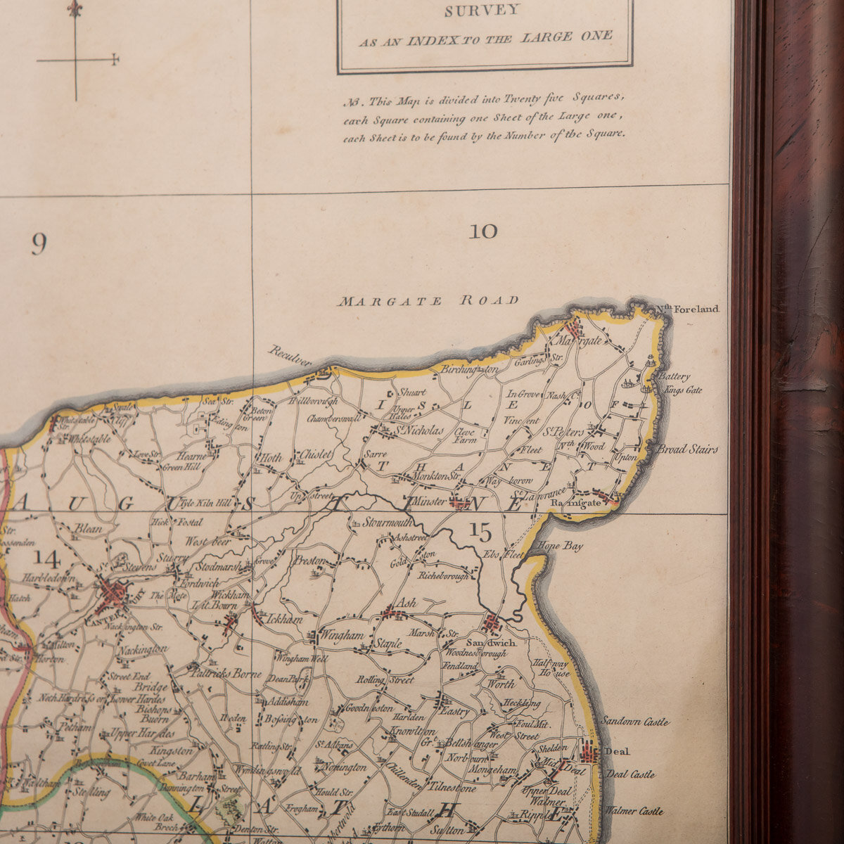
Antique 18th Century British very rare and original John Cary sr (1755-1835) map of Kent, publication 1769, A Map of the County of Kent taken from an actual survey as an index to the large one, hand-coloured engraved map with contemporary outline, produced as the key plate map for J. Andrews, A. Dury and W. Herbert's large scale map of Kent.
Reference Number: A6619b
DESCRIPTION
Antique 18th Century British very rare and original John Cary sr (1755-1835) map of Kent, publication 1769, A Map of the County of Kent taken from an actual survey as an index to the large one, hand-coloured engraved map with contemporary outline, produced as the key plate map for J. Andrews, A. Dury and W. Herbert's large scale map of Kent. Mounted in solid wood frame with glazed front. John Cary sr. was described by his biographer, George Fordham as “The most prominent and successful exponent of his time… the founder of what we may call the modern English school [of mapmaking]”
CONDITION
In Good Condition - Wear as expected with age and comes newly framed.
SIZE
Height: 71cm
Width: 80cm