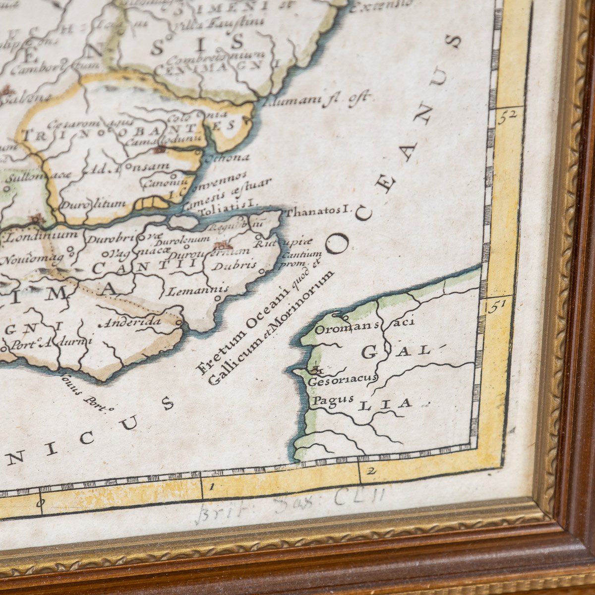


ANTIQUE 17thC ROBERT MORDEN MAP OF BRITANNIA ROMANA c.1695
Reference Number: A6659
Reference Number: A6659
Reference Number: A6659
DESCRIPTION
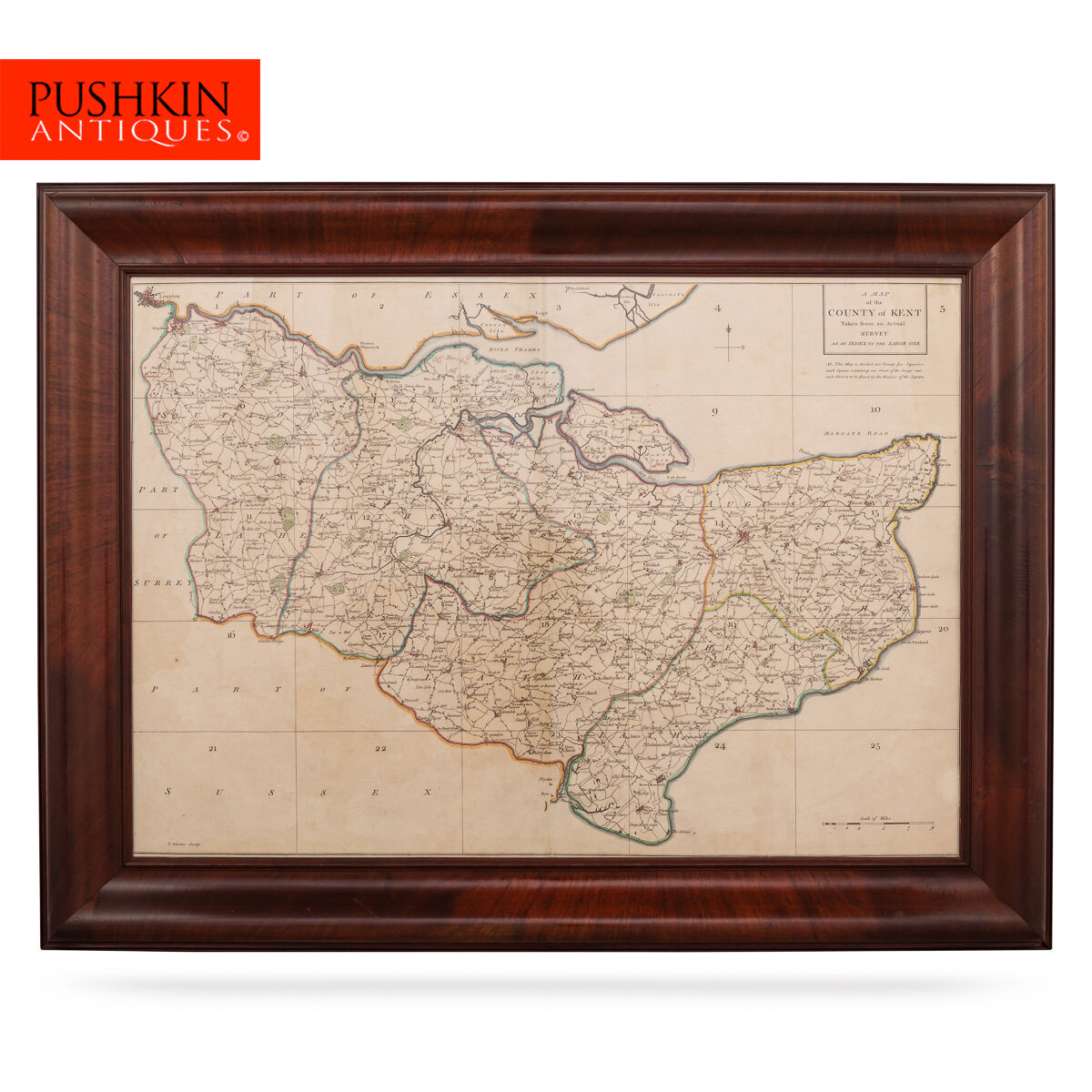
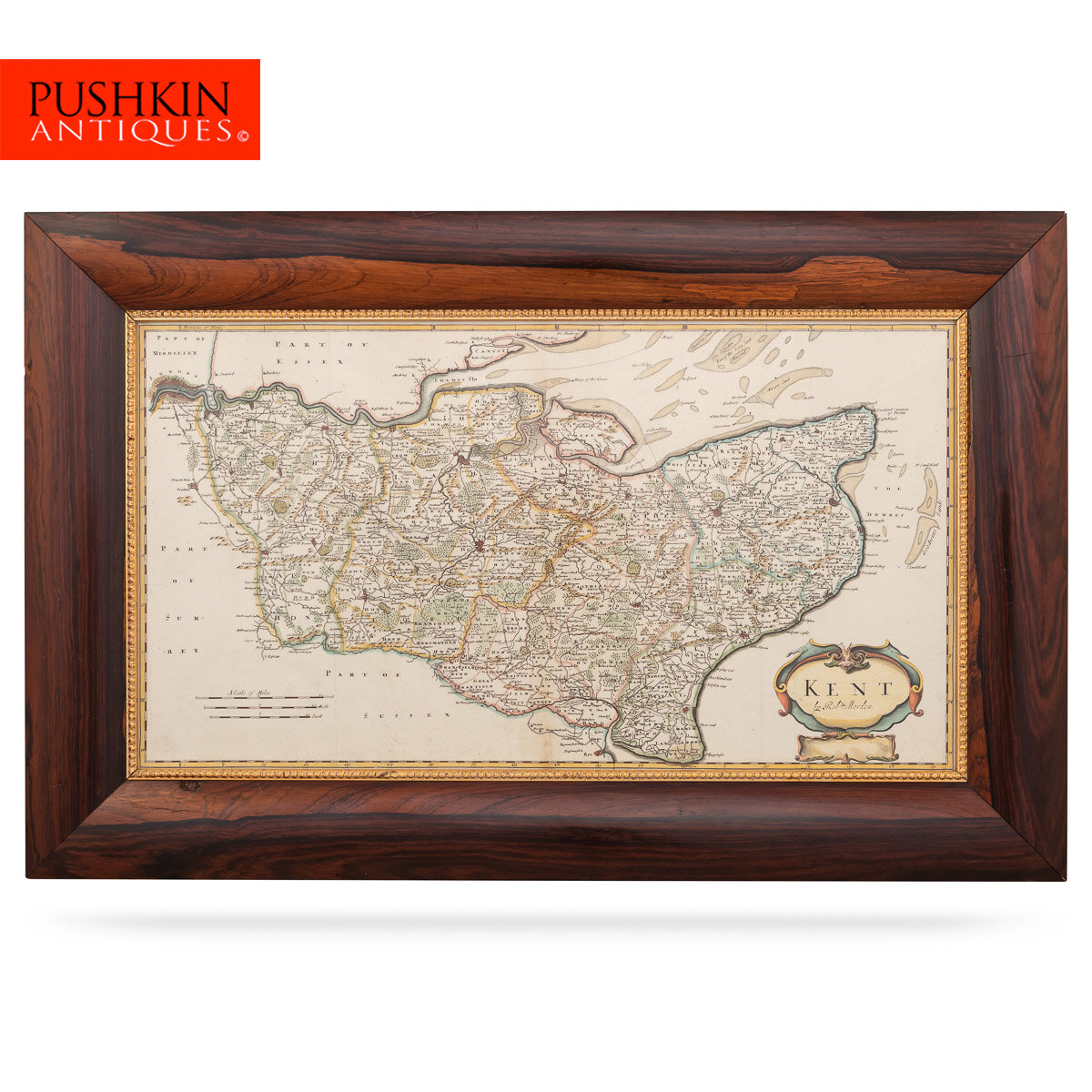
Antique late-17th Century British very rare and original Robert Morden (1650-1703) map of Britannia Romana, publication 1695 or later, Robert Morden (1650–1703) is without a doubt the greatest English cartographer of the 17th century. He was a publisher, bookseller, mapseller, cartographer, globe builder, and instrument maker from England. Along with Emanuel Bowen, John Cary and John Speed, Robert Morden contributed enormously to the development of aesthetical cartography in Britain.
From 1675 until 1703, Morden worked at the Atlas in New Cheapside and the Atlas in Cornhill in London. His body of work in the field of cartographical works was extensive and diverse. It contained geographical playing cards, huge size maps on several sheets, the most notable of which being William Morgan's 12-sheet layout of London.
Some of his best-known maps, particularly those of South Wales, North Wales, and the English Counties were originally published in a revised edition of Camden's "Britannia" in 1695, and were reprinted in 1722, 1753, and 1772. These maps were newly etched and based on new information from gentlemen in each county. Each featured a cartouche that was ornamented and displayed a number of geographical names. In 1701, Morden also published a set of miniature county maps known as Miniature Mordens.
Morden's approach to mapmaking was simpler than those of the previous century: he would avoid the over decorative ornaments and heavily embossed fonts, like on the maps of Speed, Blaeu, and the like. Instead, he would focus on the clarity of the information. One of his most prominent pieces, the map of Scotland, published in 1695, was largely a duplicate of the 1654 map done by Robert Gordon of Straloch and published by Joan Blaeu in sections (e.g. Skye and the Western Isles); other areas show signs of more precise cartography. In comparison with Morden’s technique, even John Cary’s approach seems almost indelicate and overly-complicated.
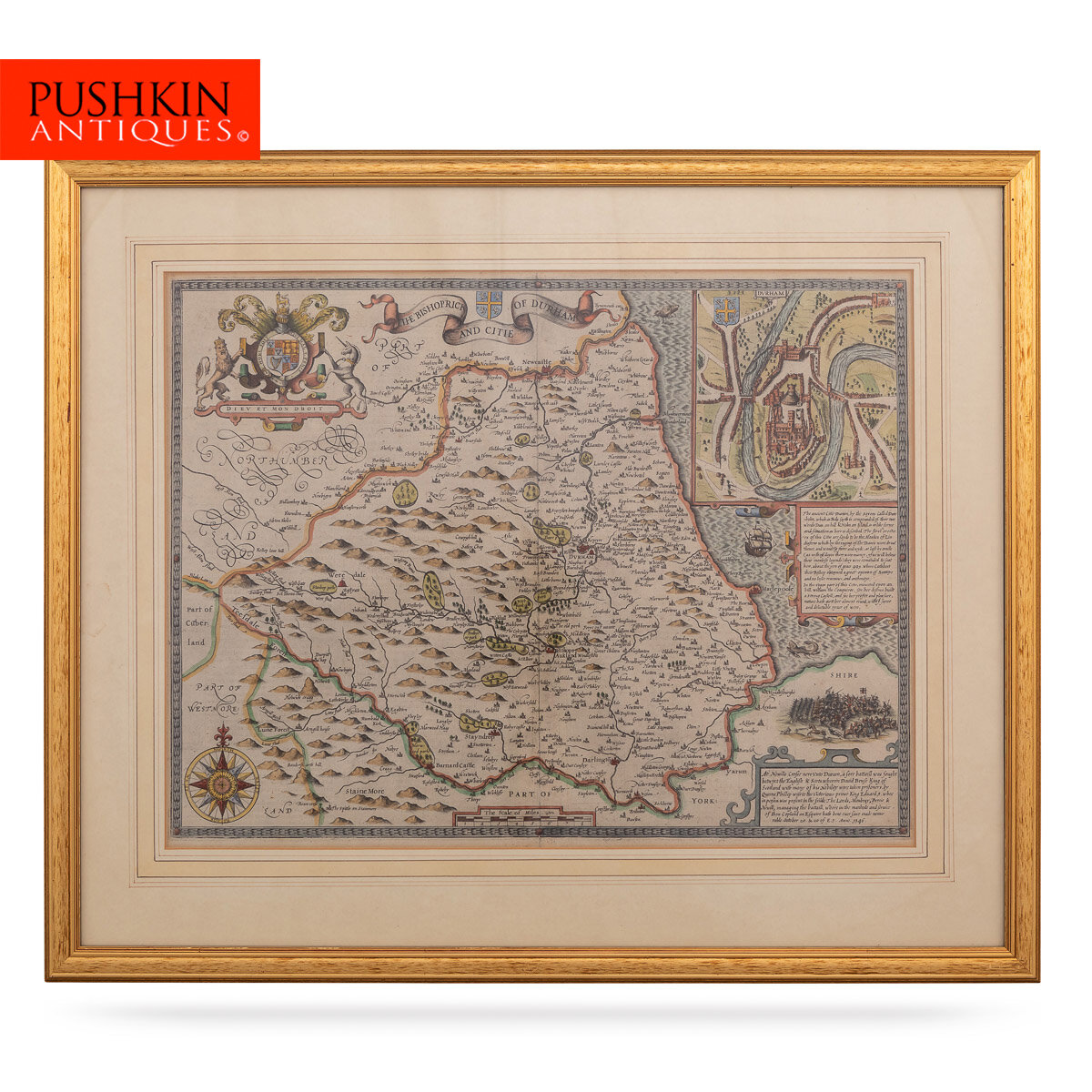
When Morden has to show hilly terrain on his maps, the one aspect of the earlier, more ornate style of mapping may be discovered. Hilly areas, such as the Lake District (at the time, the counties of Cumberland and Westmoreland) and some parts of Wales (particularly Monmouthshire), are depicted with a plethora of artistically engraved hills, which are not strictly accurate in dimension but are considered sufficient to show relative heights within a group of hills and add an aesthetic that is lost on many later maps. This very special feature makes maps by the renowned cartographer especially collectible and appealing to antiques hunters.
CONDITION
In Good Condition - Wear as expected with age and comes newly framed, no protective glass.
SIZE
Height: 41cm
Width: 48cm